Learn more about our impact
Learn more about our impact
- What we care about
- People
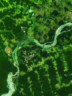
- Places
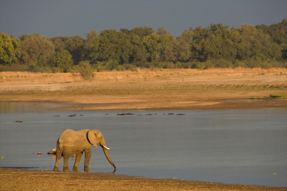
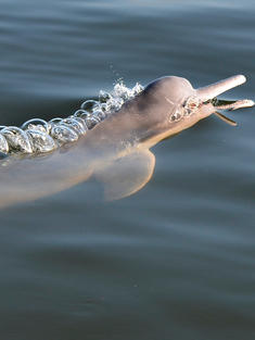
- Species
- Climate crisis
- Sustainability
- How we work
- Public policy
- Science
- Business
- Wildlife conservation
About WWF
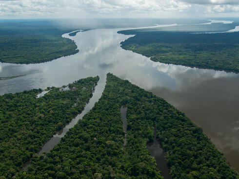
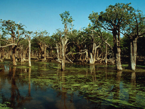
WWF works to sustain the natural world for the benefit of people and wildlife, collaborating with partners from local to global levels in nearly 100 countries.