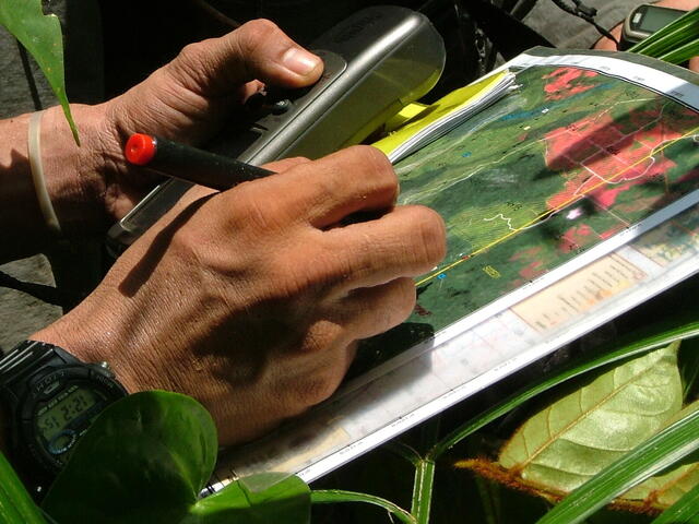
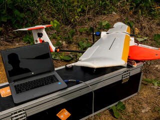
21st century conservation must capitalize on technology to solve problems. By leveraging and adapting new technology—including wireless internet, global telecommunication systems, cloud computing, online mapping and smart-phones—and combining it with existing tools such as geographic information systems (GIS), satellite imagery and animal tracking collars, WWF scientists are providing the foundation for new conservation strategies.
Next Generation of Conservation Tools
By filling in knowledge gaps and enabling increased participation and transparency in monitoring the health of our planet, WWF leads the development of the next generation of conservation tools and analyses. These insights will advance conceptual and technological frontiers while improving conservation decisions, policies and practices.
Using Technology to Solve Problems
WWF scientists work to minimize human wildlife conflicts occurring in rural communities by linking mobile phone connectivity to animal tracking telemetry and remote cameras to allow affordable, high resolution monitoring of species. We also develop GIS tools to develop land use risk maps and integrate them in an online mapping tool to guide sustainable agricultural development. We crowd source data collection through innovative tools like Sigaptaru—an online system that allows users from grassroots to international organizations to share spatial information on land use and projects proposed by companies, banks, and governments. As a result, maps of new roads, hydroelectric dams, mining and agricultural concessions are constantly updated.
Working with Partners to Scale Up Conservation
WWF scientists form partnerships with a variety of institutions to increase the scale of conservation actions all around the world. In the Natural Capital Project, we work with universities and other organizations to integrate the benefits nature provides to humans into policy and planning. We are building the most robust dataset that has ever existed to inform the relationship between marine protected areas and human health and well being. We work with leading corporations to build sustainable supply chains, distribute GIS software, and ensure water use is available for humans and wildlife. These relationships increase the scale of our global network of conservation practitioners in all sectors of society.